Crag Band View 25m VD
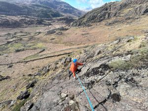
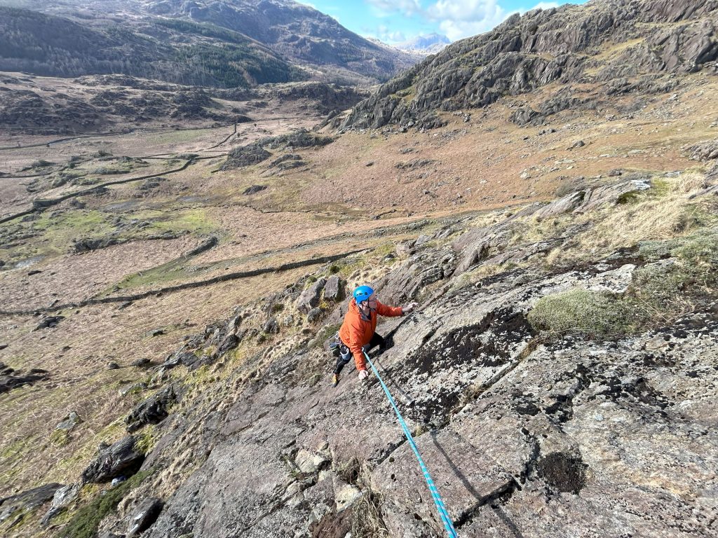
Posted by: David Scott-Maxwell, 27.03.202424.03.2024, Dave Scott-Maxwell An easy angled quite clean slab high up on High Close overlooking Crag Band on the North side of Tongue House High Close North Buttress. Location: 54.37064N, 3.16816W. Start at a boulder jamming a gully & climb a short clean rib, pass a grass ledge & then take the main slab straight to the top. Quite easy but only a single runner, mid-height (climbed & gardened onsight), The route ends just below the summit of North Buttress. Picture is of Andy Gittins following FA.


For anybody bemused by lat/long and using a map, this transposes ( using BGS app) to 24207 97866 ( 10fig to 1 metre).
FWIW, I studied surveying for my engineering degree, used coordinates intensively for most of my working life and been navigating on the hills for the best part of 60 years. I still find it all a bit confusing.
Also worth mentioning, for anybody without a gps device, OSLocate, a free app, gives a 10figure grid ref without requiring a mobile signal.
Can also be set up for 6+8 figures and lat long and other features. I find the grid ref pretty accurate, have checked it against survey station nails rated to 20 mm. The compass and altitude are a bit less confidence inspiring.
Other apps available.
Didn’t know about OS Locate – super useful – thanks Rick!
This route located only be aligning Scafell with the bottom of the dip in the top of the Duddon valley behind from the belay
It needs to be mentioned that the route starts from the huge boulder half way up the right hand side of this rather extensive broken crag.